12 ASHLAND AV
Owner Information
BURNS JOHN
12 ASHLAND AVE
WEST ROXBURY, MA 02132


Property Details
12 ASHLAND AV is classified as a Single Family Residential (Bungalow).
The primary structure on this property was built in 1940. There is 1,344ft2 of residential/living space within this property. This property is listed as having 7 rooms.
12 ASHLAND AV is valued at $398,800. The land is valued at $164,400 and the structures are valued at $234,400.
The most recent deed for 12 ASHLAND AV is recorded at the local registrar in Book 85186, Page 1RL. 12 ASHLAND AV was last sold on Monday, January 4, 2016 for $364,000.
Assessment data from fiscal year 2020.
Flood Data
According to the FEMA National Flood Hazard Layer, this property does not appear to be in a flood zone. It may also be in an area not yet reviewed. Nonetheless, confirm this information prior to taking any action.
To view the flood hazards around this property, create a FEMA "Firmette" Map of the area around 12 ASHLAND AV.
Broadband Internet Providers
| Provider | Type | Bandwidth (mbps) | |
|---|---|---|---|
| RCN | Cable | 1000 | 20 |
| Viasat Inc | Satellite | 100 | 3 |
| USAi.net, Inc. | Fixed Wireless | 0 | 0 |
| Verizon New England Inc. | Fiber | 940 | 880 |
| Comcast | Cable | 1000 | 35 |
| RCN | Cable | 500 | 20 |
| GCI Communication Corp. | Satellite | 0 | 0 |
| HughesNet | Satellite | 25 | 3 |
| VSAT Systems, LLC. | Satellite | 2 | 1 |
Broadband service provider data from December 2020.
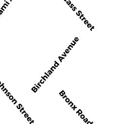
Adjacent Properties
- 74 CASS ST
Single Family Residential owned by CROWLEY JOHN J JR ETAL - 80 CASS ST
Single Family Residential owned by ELLIS JEANETTE - ASHLAND AV
Accessory Land with Improvement owned by ODONNELL HENRY J ETAL - 90 CASS ST
Other, Open Space owned by 90 CASS STREET CONDOMINIUM TRUST - 90 CASS ST 1
Residential Condominium owned by REED JESSICA - 90 CASS ST 2
Residential Condominium owned by ZWARICH MARALENE - CASS ST
Accessory Land with Improvement owned by LATKOWSKI WLODZIMIERZ B - CASS ST
Accessory Land with Improvement owned by MCGRAIL JOHN - 102 CASS ST
Other, Open Space owned by 102 CASS STREET CONDOMINIUM TRUST - 102 CASS ST 2
Residential Condominium owned by WILKIN AMBER S - 102 CASS ST 3
Residential Condominium owned by LEWIS NANCY L - 102 CASS ST 1
Residential Condominium owned by GORMAN JASON